
Find Norristown Neighbors by Block Sources
Norristown has no confirmed official current-neighbor directory. The Norristown records that can help with an immediate block are narrower. Montgomery County assessment search begins with a Norristown street address or parcel number. The Norristown map can select surrounding parcel geometry. Norristown voter information has its own request process and use restrictions. Historical Society material can support a dated Norristown historical association only when the relevant source does. Each Norristown route must retain its stated boundary.
| Block source | What it can show near an address | Access and boundary |
|---|---|---|
| Norristown Assessor Map buffer | Selected nearby Norristown parcel geometry and selected assessment profiles | 0 to 1,000 Feet or Meters; property data, not households |
| Norristown Assessor Address Search | Parcel results along a typed Norristown street with sortable property and sale fields | Street plus optional municipality; no public owner-name-first route |
| Montgomery County Norristown voter street-list request | Permitted name and residential-address fields in the lawful list product | Requester, identification, and use restrictions apply |
| Norristown borough service-area map | Council district, route, and street-cleaning context for an address | Municipal service geography, not social affiliation |
| Norristown HSMC and historic directories | Dated street, name, business, or household context | Collection and volume dependent; no verified complete online reverse directory |
Norristown assessment owner or mailing fields are not a present-residence finding. Likewise, a Norristown voter-list field belongs to the lawful product requested, and a historic directory records only what it printed at the time. This keeps a search for Norristown neighbors focused on Norristown record access and block geography rather than an unsupported compilation.
Map a Norristown Neighbor Parcel Buffer
Montgomery County's integrated Norristown property map has a specific parcel-context method. Start by using Address Search for the Norristown target with Municipality = NORRISTOWN, choose the target card, and open its Map tab. Select or identify the Norristown subject parcel, then use the Buffer panel. It offers a Distance field, a slider from 0 to 1,000, a Feet or Meters choice, Center Points or Polygons, Select By Buffer, and Clear Buffer Graphic. A conservative Norristown buffer is suitable for immediate adjacency, not a neighborhood-wide list.
- Normalize the address in County Address Search and confirm the displayed municipality and property location.
- Open the selected Norristown parcel card and retain its parcel key, situs, and the distinction between property location and assessment mailing address.
- Open Map, select or identify the Norristown subject parcel, choose center points or polygons, then enter a modest distance and its unit.
- Use Select By Buffer, inspect the selected Norristown parcel profiles one by one, and record the date, filter, selection basis, and buffer setting.
- Use a Recorder document or a bounded municipal record only to answer its own dated record question. Do not turn the result into an occupancy claim.
This is a useful process flow: address, parcel card, selected geometry, parcel profile, then source-specific confirmation. For a full named-street trail instead of an immediate block, use the Norristown Street Directory.
Read Norristown Parcel Selection Controls
The observed Norristown Map tab also provides Zoom In and Out, Pan, Full Extent, Back and Forward, selection display options, Identify, Measure distance, Map Contents, Layers, Legend, Print or Download, transparency, and Full Screen. These Norristown controls help confirm which parcels were selected. They do not replace a survey, title examination, legal boundary description, or a statement about households.
The county parcel-buffer screen documents the adjacent-parcel controls available after a parcel selection. Keep the capture tied to the method rather than exposing unnecessary personal details.
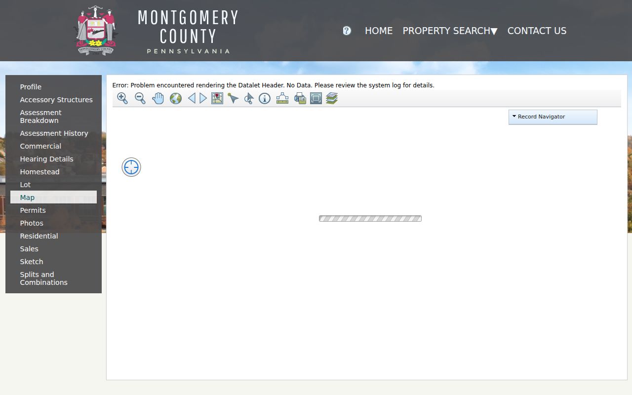
The session is stateful, and research did not verify a durable public share link for one selected parcel. County guidance also describes GIS data as informational geography, supplied without a suitability warranty. Use the card and the Recorder for their separate roles.
Note: Record whether the buffer used center points or polygons, plus its unit and distance, before relying on a selection.
Separate Norristown Neighbors From Owners
The Norristown Property Records portal makes a careful distinction possible. A Norristown parcel card can display parcel and tax-map identifiers, property location, municipality, assessment owner and mailing blocks, assessment details, last-sale information, and tabs such as Map, Permits, Sales, and Splits and Combinations. The county removed public owner-name search in 2022, so a Norristown address or parcel remains the public starting point. A name on the Owner block should be labelled as assessment information, not as proof of current residence.
| Official route | Strength | Limit |
|---|---|---|
| Assessment address and parcel record | Shows a property-centered card and parcel identifiers | Not a current household roster or title opinion |
| Recorder index and document copy | Shows recorded parties, document chronology, and legal description | A recorded instrument does not establish everyday occupancy |
| Voter-record request | Provides the county's controlled channel for a permitted list product | Restrictions apply; it should not be republished as a block directory |
| Commercial neighbor-tool category | May present compiled claims about a block | Its source dates, coverage, and role labels may be unclear and need independent confirmation |
A recorded transfer is best checked through the Montgomery County Recorder Public Access System, which requires an account for public-record searching. The Recorder says address and parcel ID are search criteria and that in-person public computers, mail copies, and remote-image subscriptions are distinct access channels. Follow a deed book and page or parcel number rather than assuming a parcel screen settles title.
Use Norristown Neighbor Community Channels
No official borough-wide neighborhood-association, HOA, block-watch, congregation, or private membership directory was identified in the research. The municipality's neighborhood maps, public calendar, agendas, and legislation pages can point to public civic geography and notices. They do not establish that a person belongs to an organization because an address lies nearby. A later neighborhood-specific inquiry should use a verified organization's official contact or meeting page, when one is available.
| Norristown community route | Documented purpose | What it does not provide |
|---|---|---|
| Municipal neighborhood maps | Neighborhood orientation after an address and parcel are confirmed | Private member roster or parcel ownership proof |
| Municipal calendar | Public event notices, including a selectable Local Clubs & Organizations calendar | Verified neighborhood-association directory |
| Municipal site map | Agendas, minutes, boards, authorities, commissions, and public proceedings | Private contact lists or social membership |
| Historical Society Archives & Library | Historical organization materials, directories, tax-record microfilm, and newspapers | Current neighborhood affiliation |
The municipality's local-organizations calendar provides the captured public-event view. Its notices are useful for finding civic activities, but the captured page is not a verified association or membership directory.
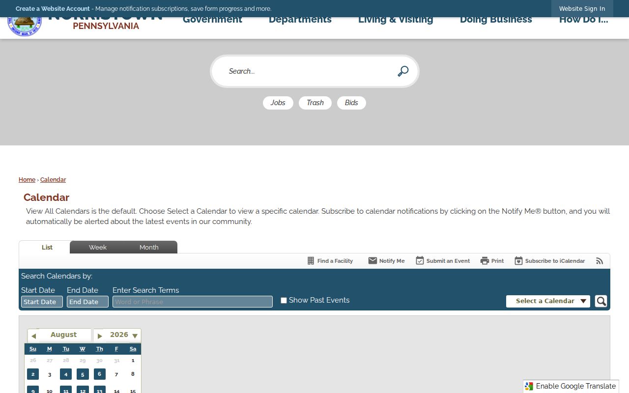
Use a public meeting notice or official contact channel to learn about a group. Do not infer private membership, contact information, or household ties from a nearby parcel.
Place Norristown Neighbors in Local Geography
Norristown's official neighborhood map provides a practical way to describe the area around a confirmed parcel without confusing neighborhood names with legal parcel or postal boundaries. The borough's Heritage Action Plan describes two National Register historic districts, Central Norristown and West Norristown/West End, entered in 1984. It describes broad development eras and historic form, not the age, ownership, or residence history of every nearby structure.
The municipal neighborhood-map source is useful orientation after the parcel step. It makes local geography visible without turning an area label into a directory claim.
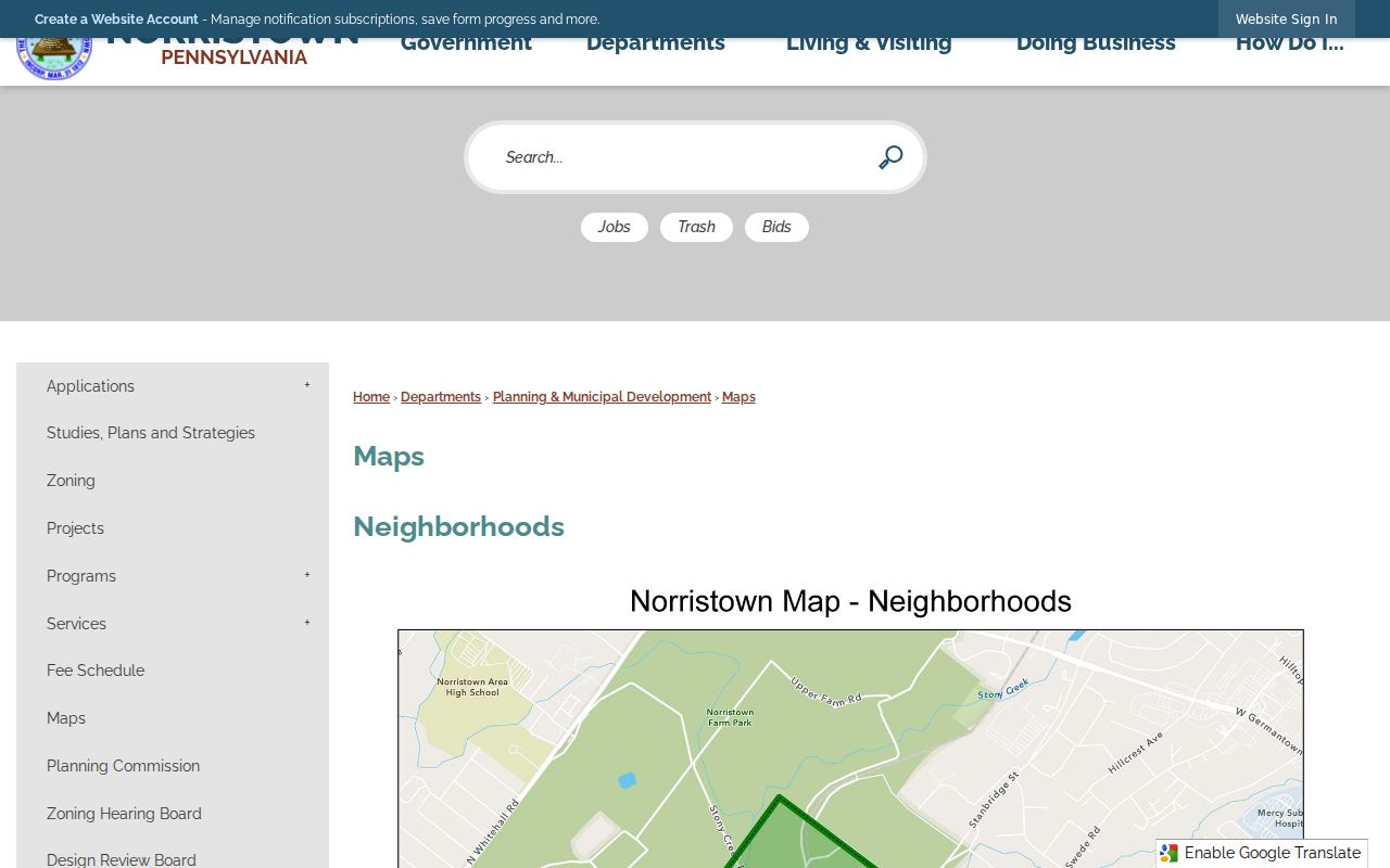
For historic context, retain the source date. Central Norristown includes broad early development areas, while West End reflects another period of growth. Historic-district placement alone cannot identify a household or prove an individual building date.
Request Norristown Neighbor Voter Records
Pennsylvania's registration-status form is for an individual registrant's status, not a public by-street resident directory. Montgomery County instead supplies a Request for Voter Records form for the permitted list product under 25 Pa.C.S. sections 1403 through 1404 and the related administrative code provisions. The office is at One Montgomery Plaza in Norristown and documents weekday access hours and a county contact route.
Describe a request narrowly, follow its identification and use conditions, and retain only the fields lawfully supplied for the stated purpose. A voter-record result has its own date and scope. It should not be merged with assessment mail lines, parcel-map geometry, or historical entries into a public household list. If a person name is involved, an independent event date, address, instrument number, or documented relationship is needed before treating records as the same person.
Respect Norristown Neighbor Privacy Limits
Public records do not reveal every private association on a block. Pennsylvania Right-to-Know Law exemptions cover many sensitive categories, including personal telephone and email information, financial information, minor information, protected home addresses, medical material, investigations, and security-sensitive records. A redaction or withheld field does not invite reconstruction from other sources.
The Pennsylvania Address Confidentiality Program gives approved participants a substitute address for identified state and court records. Do not try to correct a substitute address with parcel, mailing, court, vehicle, or other records. Pennsylvania law also restricts improper acquisition or disclosure of motor-vehicle information. Those systems are not an address-finding route.
Document Norristown Neighbor Findings
Keep a short Norristown source card for each block finding: the official URL, system name, access date, Norristown address or parcel basis, selected map setting, record date or coverage period, fields seen, and limit. Where a postal Norristown label conflicts with borough jurisdiction, favor the Norristown parcel card's displayed municipality and situs for the property question. Preserve the postal or historic label as a dated source variant rather than silently replacing it.
Do not merge people on a shared name, a nearby street, or an unchecked civic mention. A sound historical association needs compatible dates and independent supporting evidence. When a map session is not shareable, or an organization roster was not verified, record that gap plainly. The limited, source-aware approach makes the block useful without claiming more than the records establish.