
Walk a Norristown Street Record Trail
For a known Norristown address, Montgomery County's assessment system is the sound first stop because its public searching is built around street address or parcel number. It is not a Norristown current-occupant roll. Start with the Norristown location, retain the Norristown parcel and situs fields shown on the card, and use the Norristown Recorder only after you have a document clue. The Norristown voter-record request process is a separate, restricted channel for an eligible list product. Historical Norristown directories and census material are dated evidence, not a present-day confirmation.
- Enter the exact address in the Montgomery County Address Search and add the NORRISTOWN municipality filter when the result list needs it.
- Save the displayed Norristown property location, parcel or Tax Map ID, municipality, last-sale fields, and the date of the search. Treat assessment owner and mailing fields as assessment data.
- Carry the Norristown parcel, book and page, or recorded parties to the Recorder Public Access System. Record execution and recording dates separately.
- Check the Norristown parcel card's map and permit tabs for address-keyed context. For a defined borough file, make a focused request for a bounded record series and date range.
- For a dated Norristown household or older street spelling, compare the directory, census, map, or newspaper source by year and preserve its original wording.
The sequence produces a Norristown source chain, not a universal list of people on a street. A recorded Norristown deed documents a transaction. A Norristown directory entry documents what that volume printed for its date. Neither alone proves present residence.
Norristown Street Directory Address Fields
The Montgomery County Property Records portal offers Address, Parcel, Advanced, Map, and Sales modes for Norristown properties. Its public address route is especially useful for a Norristown street directory task because the county removed public owner-name search on June 17, 2022. Begin with the Norristown property itself rather than trying to work backward from a person. The portal asks users to accept its disclaimer, and its information is not a title search, survey, appraisal, zoning certification, or permit review.
| Address-search control | Input | Required | Observed Norristown use |
|---|---|---|---|
| Number | Text, up to 6 characters | No | Pair it with a Norristown street for a specific address. |
| Direction | Blank, E, N, NE, NW, S, SE, SW, or W | No | Use the direction printed in the known address. |
| Street | Text, up to 20 characters | Yes | The portal documents Norristown prefix and containing-style wildcard behavior. |
| Suffix | Standard street-type menu | No | Use the normalized Norristown suffix when it is known. |
| Unit # | Text, up to 6 characters | No | Add a unit rather than assuming one address identifies one household. |
| Municipality | Optional filter | No | Select NORRISTOWN to distinguish borough results from nearby postal labels. |
Norristown results can sort by Parcel ID, Owner Name, Property Address, Sales Date, Sales Amount, LUC, or Altid, and the visible result-size choices run from 15 through 50. The sort control is useful for reading a Norristown street result set, but it does not turn the assessment platform into a people directory. Property data update weekly, maps daily, and photos quarterly, so record the Norristown access date beside a result.
Source note: the county's property-information page states the Norristown address-or-parcel limitation and explains why a known street address is the correct starting point.
Read Norristown Parcel Cards Carefully
A selected Norristown card separates several facts that are often confused. The Norristown Parcel group can show Tax Map ID, parcel ID, property location, lot details, municipality, school district, and utilities. The Norristown Owner group can show names and mailing lines. Current assessment and estimated-tax blocks carry valuation and levy context. A Last Sale block can supply sale date, price, tax stamps, deed book and page, grantor, grantee, and recording date. Use the last group as a Norristown breadcrumb to the Recorder, not as a conclusion about who currently lives there.
- Parcel
- A Montgomery County property unit in Norristown with an identifying number used to connect assessment and mapping records.
- Situs address
- The Norristown property location shown for the parcel. It can differ from a mailing address.
- Plat or plan
- A recorded Norristown map or plan that can describe subdivision, roadway, or lot layout. It is not the same as an assessment map.
- Criss-cross directory
- A historical directory arranged by address rather than only by name, when a particular volume offers that arrangement.
The Norristown card's detail tabs include Map, Permits, Sales, Sketch, Splits and Combinations, plus other property categories. A tab is a prompt to inspect what is available for that Norristown parcel, not a guarantee of full coverage. The research inspection verified address-keyed permit-card fields for date, permit number, amount, purpose, notes, status, and pagination on a public municipal parcel. It did not establish a complete Norristown history for every address.
Norristown Street Directory Record Coverage
Norristown address-keyed sources answer different questions. The strongest Norristown approach is to name the source, role, and date each time. That avoids turning a mailing line into a residence claim or treating a land record as a household roster. The following sources are the documented Norristown and Montgomery County routes for a street-based research trail.
| Address record | Custodian | Street-level value | Access route |
|---|---|---|---|
| Norristown assessment parcel card | Board of Assessment Appeals | Situs, parcel key, assessment mailing fields, last-sale breadcrumb | Norristown street address or parcel in Property Records |
| Norristown integrated parcel map | County Property Records | Norristown parcel geometry and selected parcel profiles | Map tab after a parcel selection |
| Norristown recorded land index | Recorder of Deeds | Recorded parties, legal description, instrument chronology | Account search, counter terminal, or copy request |
| Norristown permit and code material | Norristown Buildings & Code Enforcement | Dated project or file-role evidence | Department process or narrow RTKL request |
| Norristown historic directory or map | Historical Society of Montgomery County | Dated street spelling, household, business, or map context | Library, scheduled archives, and identified digital sources |
| Norristown voter-record request | Montgomery County Voter Services | Permitted address information in the requested lawful list product | Request form with stated restrictions |
Norristown Recorder records date from 1784, and the office says its public system can search by name, address, and parcel ID after account sign-in. Remote image viewing is different from Norristown index access. The county documents in-person public computers, mail copies, and subscription options, so a Norristown address search need not end when an image is not visible remotely.
Note: A property location, assessment mailing field, recorded party, permit applicant, and dated directory household each describe different roles.
Map Nearby Norristown Street Parcels
The selected Norristown parcel's Map tab has a documented, bounded way to examine immediate Norristown parcel context. Its controls include identify, selection display, measure, layers and legend, print or download, and full extent. The Norristown Buffer panel shows a distance field, a 0 to 1,000 slider, Feet or Meters, Center Points or Polygons, Select By Buffer, and Clear Buffer Graphic. Those are map-selection tools, not a list of people living nearby.
The county parcel Map tab is shown here after a parcel selection. The control panel illustrates why a small, documented buffer is more defensible than a broad, undefined map sweep.
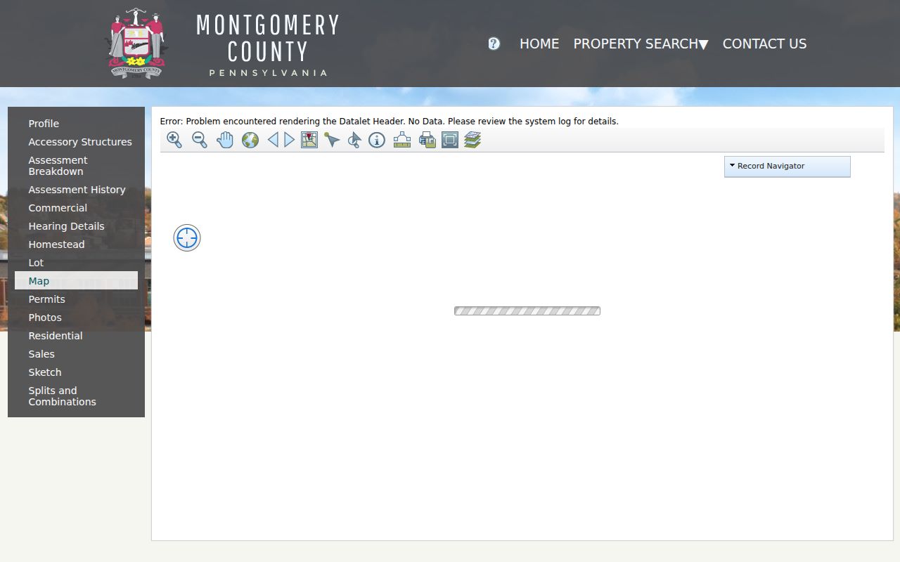
Choose the center-point or polygon basis, a modest unit and distance, then inspect selected parcel profiles one at a time. Session-specific map state means a durable public link to a particular selection was not verified.
For a whole named street, use the Address Search result set first. For a narrow radius, preserve the exact municipality filter, date, buffer unit, distance, and selection basis. The county's Data & Mapping Services and open-data hub add useful geography, but county guidance says that GIS information is not a legal description.
Follow Norristown Address Documents
The Norristown Recorder's Public Access System puts deeds, mortgages, satisfactions, plans, powers of attorney, and related land records into a centralized collection. The county says to create an account and use Search Public Records. It documents Norristown address and parcel searching but does not publish every authenticated field or dropdown. If a Norristown address result supplies a deed book and page, capture that locator and distinguish the instrument's execution date from its recording date.
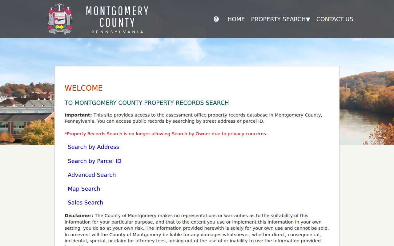
The property-search gateway is the official starting screen for the county address and parcel routes. It is useful for reaching a parcel card before a document request, but the county expressly warns that its assessment data do not replace a title search or survey.
When a remote image is unavailable, the Recorder provides alternatives. Its copy procedure calls for such locators as property address and municipality, parcel ID, book and page, or party name. The office also has public-search computers and accepts mail requests. A $25 calendar-day remote-image subscription, $300 monthly subscription, $0.50 plain page, and $10.50 e-certified copy are documented separately by the county.
Norristown's March 2026 permit packet is a separate address trail. It records the fields an application can contain, including site, work category, owner or authorized agent, and dated review spaces. The borough has not published a historical permit-results search. For an existing record, the Norristown Right-to-Know form supports requests by web route, mail, fax, email, or in person. Ask for a precise address, time range, and final permit, inspection, certificate, code notice, or closed case.
Keep Norristown Street Forms Dated
Historical Norristown spelling and format matter. The Historical Society of Montgomery County identifies a Norristown Directory run for 1859 through 1925 in its bibliography, while Penn State provides a digitized 1860-61 Norristown and Bridgeport directory. Those sources may supply a Norristown name, business or occupation category, and address for the volume's period. They do not create a modern reverse directory or prove an uninterrupted household history.
The Historical Society Archives & Library in Norristown also holds genealogical materials, religious records, county tax-record microfilm, and Norristown Times Herald microfilm. Its regular research-library hours and scheduled archive access provide a local fallback when an online index is incomplete. The 1902 Sanborn set and identified census schedules can be paired with a directory year to test a street form and building context.
Do not manufacture a borough-wide address conversion. Research found no authoritative Norristown street-renumbering ledger or citywide conversion table. Keep an old spelling, abbreviation, or street number beside the source that used it. The municipal Heritage Plan's historic-district bands describe broad development patterns, not proof that a particular parcel has a particular age or household.
For an extended historical directory trail, the dated volumes and collection details belong in the Norristown Directory Book.
Verify Norristown Street Geography
A postal Norristown label can cover an address outside Norristown borough. The county property route therefore needs Municipality = NORRISTOWN when borough jurisdiction matters. Check the property card's municipality and situs first, then use the USPS ZIP Lookup for delivery ZIP and preferred mailing format. USPS delivery geography is not a borough boundary.
Municipal maps can add council district, street-service, and neighborhood context once a parcel is confirmed. They cannot establish ownership, legal boundaries, or who lives at an address. Keep historic street forms from a directory, census, map, or deed exactly as printed rather than overwriting them with a modern postal label.
Note: When records disagree, retain each label with its source date instead of forcing one address form to replace another.
Respect Norristown Street Directory Limits
No confirmed official Norristown directory identifies every current or past occupant of every address. County assessment search starts with an address or parcel, and its owner-name route was removed from public access. An assessment mailing line can differ from the property situs. A selected parcel, a recorded party, a permit applicant, and a person in a historical volume must each remain in the role and time period the source supports.
Pennsylvania Right-to-Know Law exemptions protect many sensitive categories, including personal contact and financial information, minor information, certain protected addresses, medical information, and investigation material. The Address Confidentiality Program supplies a substitute address for approved participants in specified state and court records. Do not attempt to infer or reconstruct a protected address from parcel, court, mailing, vehicle, or other data.
Check Each Norristown Street Result
Save an evidence card for each meaningful result: official URL, record type, access date, query or request basis, record date or coverage, fields observed, and a plain-language limitation. For an address conflict, favor the displayed parcel municipality and situs for property jurisdiction while preserving USPS, census, and historic variants as source labels. Do not merge people solely because a surname and street appear to match.
Compare at least two mutually consistent records before making a historical association where practical. A compatible date plus an independent address, instrument number, case number, or family relationship is stronger than a repeated name. If a field is absent or a book range is known to have a gap, record the uncertainty. The Recorder identifies several deed, mortgage, and plan-book gaps, so an empty search result is not proof that no record exists.