
Norristown Previous Residents by Era
Past residents are a time-bounded historical question, not a promise to name every person ever connected with an address. Norristown has no confirmed official current or former resident directory. The useful trail moves from the exact parcel to recorded land documents and then to sources dated for the period at issue. Property situs, assessment mailing data, a recorded party, and a dated household entry are different facts. Keep each one labeled by its source and date.
| Source | Years It Covers | Where Held | What It Shows |
|---|---|---|---|
| Recorder land-record collection | From 1784 | Montgomery County Recorder of Deeds | Recorded instruments, parties, and property context |
| County assessment parcel card | Current displayed data; weekly property updates stated | Montgomery County Property Records | Situs, parcel key, assessment mailing fields, and last-sale breadcrumbs |
| Norristown and Bridgeport directory | 1860-61 | Penn State Libraries digital collection | Period name and address evidence from the printed volume |
| Norristown Directory run cited by HSMC | 1859-1925 | HSMC reference and archives | Historical-directory lead; confirm a particular volume |
| Times Herald obituary index | 1919-20; 1921-22; 1923-24 | Historical Society of Montgomery County | Dated family-event lead, not an address roster |
| Federal census | Latest generally public census: 1950 | National Archives | Household evidence subject to its geography and handwriting |
| Sanborn Norristown and Bridgeport set | May 1902 | Library of Congress | Building footprint, use, and street geography, not names |
Start with the source closest to the question's date. A recent conveyance calls for a parcel card and Recorder record. A nineteenth-century address calls for a directory, deed-book or map lead. For a household question, pair a dated directory with the closest public census and preserve the street spelling as printed. No source in the table establishes present occupancy merely because it contains a name.
Note: A Norristown address trail is strongest when every association carries its source date, record type, and stated role.
Norristown Parcel Record Facts
Begin a Norristown address search in the county's Property Records portal with a street address or parcel number. The county says public assessment searching is limited to those routes and that public owner-name searching was removed on June 17, 2022. Address Search has an optional number, direction, suffix, and unit, plus a required street field and an optional Municipality filter that includes NORRISTOWN. Add a unit when it is known rather than treating a building address as one record.
Save the result date and the exact query. A selected card can show a Tax Map ID or Parid, property location, municipality, land-use description, assessment-mailing fields, last-sale data, and tabs for items such as permits, sales, map, and photos. The public card separates property location from the mailing block. Do not turn a listed assessment name into a statement that a person lived at the address. The parcel identifier and deed book or page are the most useful handoffs to land-record research.
Norristown Recorded Deed Chain
Recorded land documents are the official route for a Norristown ownership trail. The Recorder says its records date from September 10, 1784 and its Public Access System includes current and historical deeds, mortgages, and satisfactions. A deed establishes a recorded transaction and property context. It does not, by itself, establish who occupied the address on an ordinary day. Keep execution and recording dates separate as the chain moves backward.
- Use the selected parcel card to record the parcel ID, municipality, last-sale fields, and any deed book or page.
- Open the Recorder's Public Access System, create the required account, and use the address, parcel, or name route the county confirms.
- Save each instrument's parties, document type, property reference, and recording date before treating a party name as the next search term.
- Follow the prior recorded party through the next instrument and repeat only where the document and parcel context remain compatible.
- When an online image is unavailable, use the Recorder's terminal, mail-copy route, or a historical archive referral with the locating information already collected.
- Grantor
- The party identified in a recorded instrument as conveying an interest.
- Grantee
- The party identified in a recorded instrument as receiving an interest.
- Chain of title
- A documented sequence of recorded transfers. It is not a legal title opinion.
- Parcel ID
- The county property identifier used to keep an address-linked search tied to the correct parcel.
- Legal description
- The property description carried in a recorded instrument, useful when street forms differ across time.
The Recorder's Public Access instructions confirm search by name, address, and parcel ID after sign-in, but do not expose every authenticated field or result column. Avoid assuming that the system will create a complete automatic chain. The record, its dates, and its property description remain the evidence.
Norristown Recorder Address Records
The Recorder offers more than one access channel when a prior-owner clue needs a document. The office has public-search computers at 425 Swede Street, third floor, Suite 303, and says an original deed is not retained after settlement. A copy can be obtained online, in person, or by mail. For remote images, the county lists a $25 calendar-day subscription or a $300 monthly subscription, with plain copies at $0.50 per page. An e-certified copy is listed at $10.50 and should be saved promptly because only ten documents remain in its queue.
A targeted mail request is the fallback when a person has locating details but cannot use a remote image. The Recorder asks for the owner name, property address with borough or municipality, parcel ID, book or page if known, requester contact information, payment, and a self-addressed stamped envelope. Send the request to Montgomery County Recorder of Deeds, P.O. Box 311, Norristown, PA 19404. Documents over 15 pages have an additional stated $0.50-per-page charge. The Recorder's main phone is 610-278-3289.
Note: An absent hit in a known deed-book gap is not proof that a Norristown property has no recorded history.
Norristown Historical Referrals
For a Norristown address that reaches beyond a current parcel screen, HSMC's property-history research guide gives a local evidence sequence: current parcel ID, deed book or grantor/grantee clue from the assessment card, Recorder index or image, atlas or Sanborn map, then a dated directory, newspaper, or census source. The guide points to Montgomery County deed books for 1784-1890 and describes a Recorder sequence after that period. It also identifies historic maps, photographs, tax material, architectural information, and city directories as dated context.
The Recorder's historical research resources page is the source for the image below.
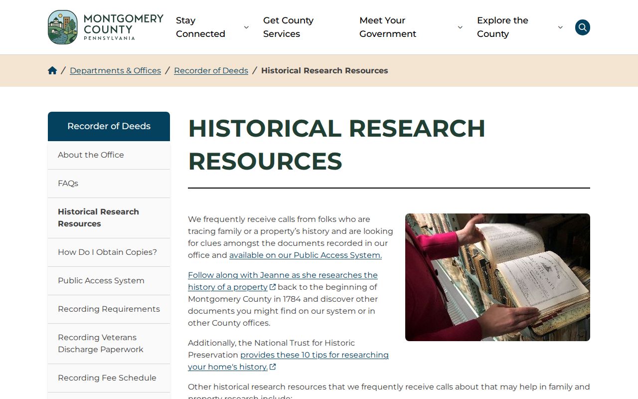
The Recorder's referral page connects a current land-record search with archives, historical societies, historic atlases, state archives, and federal sources. Use those channels to test one date-specific association at a time, rather than trying to construct a full resident list from unrelated documents.
Norristown Previous Residents in Directories
Historic directories supply the household layer that deeds cannot supply on their own. The Penn State digital collection preserves a 1860-61 Norristown and Bridgeport directory, and HSMC's bibliography cites a Norristown Directory run from 1859 through 1925. HSMC collection articles also cite volumes from 1890, 1908-31, 1936, and 1951. Those references show that dated local directory material exists. They do not confirm a complete later street-by-street database or every volume's availability.
Use the directory title, date, page or image, printed name, and street form as one evidence card. HSMC's Archives & Library at 1654 DeKalb Street provides the local fallback for directories, tax-record microfilm, research files, maps, and Times Herald microfilm; archive access should be arranged ahead. The collection and entry conventions are covered in greater detail in the Norristown Directory Book. A period directory entry must remain a historical association, never an assertion about a current address.
Norristown Census and Directory Pairing
The National Archives 1950 Census route supports free name and location searching, schedules, and enumeration-district maps. The 1950 census is the latest population census generally public through that route. Census handwriting and the source's geography need to stay visible, especially where a historic street form or Norristown postal label differs from a parcel's current municipality. A census can corroborate a dated household; it does not turn a directory name into a continuous address history.
- Start with the city-directory year or historical address date that can be cited.
- Check an adjacent directory volume only if HSMC confirms that volume is held.
- Use the nearest public census as a household-level comparison and save the census year and geography.
- Compare the result with the parcel or Recorder address key, keeping publication and recording dates distinct.
- Add a newspaper, obituary, probate, or cemetery lead only as another dated source, not as a replacement for the record chain.
Note: A missing directory listing, census entry, or obituary result may reflect coverage, spelling, or indexing limits rather than a definitive absence.
Norristown Map and Street Forms
Historic maps are evidence of physical context, not names. The Library of Congress provides a May 1902 Sanborn map set for Norristown and Bridgeport with 32 sheets. Where a sheet covers the address, it can help compare building footprint, use, and street geography with a dated directory or deed. It cannot show an individual resident or prove ownership without a separate record.
Norristown's Heritage Action Plan describes the Central Norristown and West Norristown/West End historic districts as broad development contexts. It also says the original Town of Norris was bounded by Cherry, Green, Airy, and Lafayette and only partly overlaps the modern historic district. No authoritative borough-wide street-renumbering ledger or address-conversion table was located. Keep historic and current street forms side by side rather than manufacturing a conversion.
Norristown Permit Record Limits
Address-keyed permit records can date a project or identify the role printed in a particular file, but they are not a resident roster. The county property card's Permits tab has observed fields for permit date, permit number, amount, purpose, repeatable notes, status, and pagination. That validates an address-keyed card structure, not complete coverage for every parcel. The borough's March 2026 permit packet documents address, property-owner, applicant or agent, project-category, and approval-date fields that may exist in an agency file.
No public historical permit-results search was confirmed. For a precise record, request an existing permit application, permit, inspection, use-and-occupancy certificate, code notice, or closed case for the exact address and a bounded date range. Norristown's Right-to-Know form permits in-person, email, mail, fax, and web-request channels, with inspection, copies, and certified-copy choices. Describe the record series rather than asking the borough to compile a history.
Norristown Previous Resident Limits
Pennsylvania records include real privacy boundaries. RTKL Section 708 protects categories such as personal contact information, financial information, minor data, medical information, confidential identifiers, some judicial home addresses, and protected investigations. A redaction or denial is not an invitation to reconstruct the concealed fact from other sources. The Address Confidentiality Program provides a substitute-address safeguard for eligible participants. Never try to replace a listed substitute address with an inferred one.
Lawful house-history use. Norristown previous residents research belongs to personal history, family history, estate questions, and civic property context. Pennsylvania's anti-stalking law is a firm boundary against using record material to track, threaten, harass, or harm a person.
Retain only what is needed to support the date-specific question. Use official office contacts rather than private contact details, respect redactions, and leave an association unresolved when the available records do not support it.
Note: A historical association should never be presented as a current location or a reason to contact a living person.